Best Places to Run in Richmond
Looking for scenic, pedestrian friendly routes throughout the Richmond area? These are some of the most popular spots in Richmond that comprise both trail, road, and mixed terrain routes.
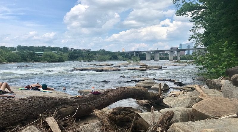
Belle Isle Trail
- Location: 300 Tredegar St.
- Length: Varies; 1.3 Mile loop
- Surface: Gravel/some trail
- Difficulty: Easy to moderate, mostly flat
As part of the James River Park System, this portion connects points along the entire trail system such as Northbank Trail. Located right next to downtown, Tredegar Iron works, and the all new Allianz Ampitheater. The trail consists of mostly crushed gravel with the so called 'lost trail' sitting atop the isle that is a single track trail that circles above the main path.
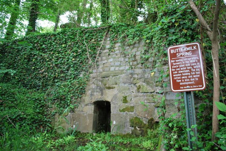
Buttermilk Trail
- Location: Various points, connected to North Bank, Belle Isle.
- Length: Varies; 5 mile out and back
- Surface: Trail
- Difficulty: Hard, rolling hills, creek crossings
One of the more difficult sections of the James River Park system. Runs mostly next to the river, and connects all the way to North bank trail, sections of Belle Isle, and all the way to the Potterfield bridge. This trail consists of rocky and rooty terrain, with rolling hills all throughout the length of the trail.
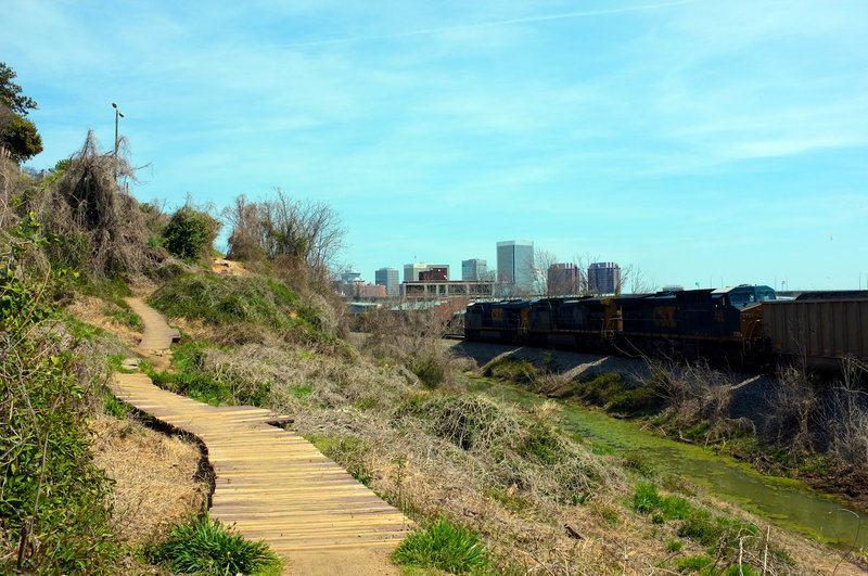
Northbank Trail
- Location: Various points, main access is at Pumphouse.
- Length: Varies; 5 mile out and back
- Surface: Trail
- Difficulty: Hard, rolling hills, switchbacks
Runs paralell to the river. Can be combined with Buttermilk trail, Belle isle trails, and across nickle bridge to make an entire loop. The trail offers many rolling hills with sections of moderately steep climbs and switch back terrains.
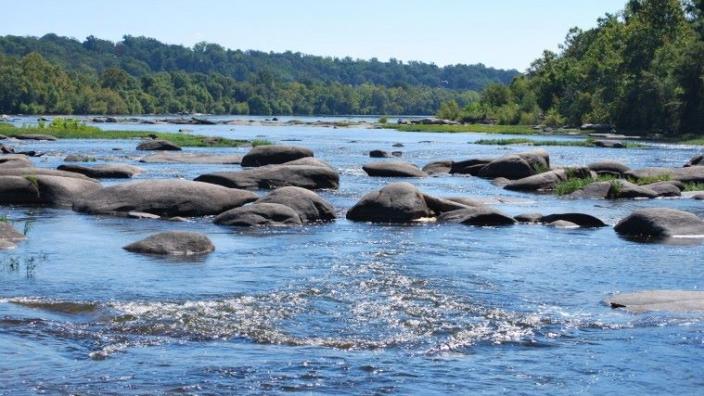
Pony Pasture
- Location: 7200 Riverside Drive
- Length: Varied, Riverside drive ~2 miles one way
- Surface: Varied, mostly road, pony pasture rapids trail offers mix of crushed gravel trail
- Difficulty: flat, easy
Located all along the James River, this section holds part of the Richmond Marathon course (around the 8-10 mile marks). Though it is mostly road section, there is a small single track trail that runs paralell to the road. Additionally, next to the parking lot, there is a small trail that loops through the park that can be added onto any route. This trail is mostly a mix of loose gravel and trail.
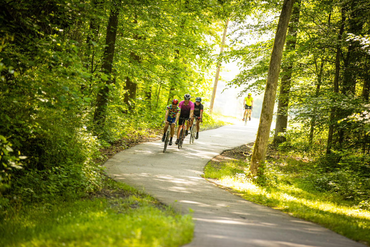
Capital Trail
- Location: Richmond side (Dock St. at 17th), travels east to Williamsburg.
- Length: 50-miles in total
- Surface: Paved
- Difficulty: flat with rolling hills. Easy with a few moderate climbs.
The capital trail links two Virginia Capitals (Richmond, and the former capital, Williamsburg). The trail is just over 50-miles in distance with paved sections that vary between flat, and rolling terrain. A place for bikers, runners, roller bladers, and walkers alike.
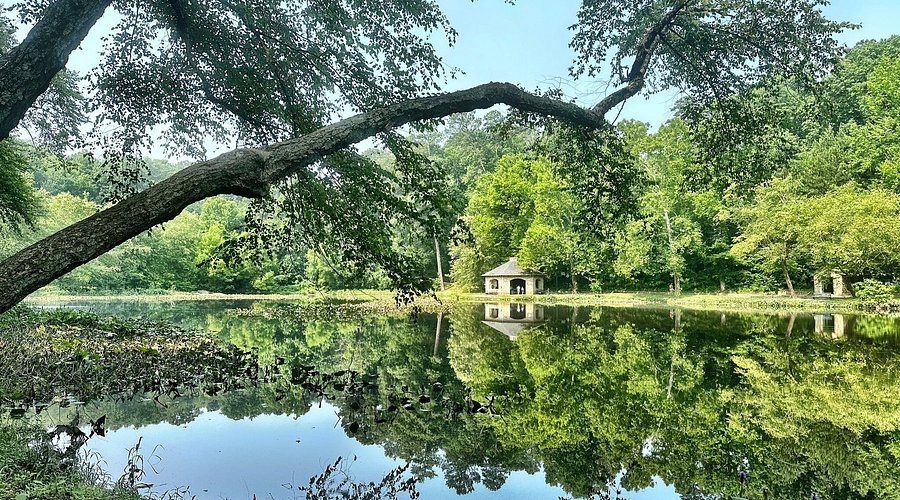
Forest Hill Park
- Location: 4021 Forest Hill
- Length: Various Loops & Connections to other trails
- Surface: Paved, gravel, trail
- Difficulty: Moderate, hilly
Once a quarry in the city, the park was revitalized as a park. The surrounding area consists of mix terrain perfect for cyclists, walkers, and runners alike. The area is connected to the James River Parks System that can be accessed directly across the street at Reedy Creek.
Connect With Us
See the latest from Fleet Feet Richmond